How Aerial Imaging Improves Solar Design Accuracy
Published on: 22/01/2026
Learn how aerial imaging software improves solar system design accuracy by providing precise measurements, layouts, and shading analysis.
Solar System
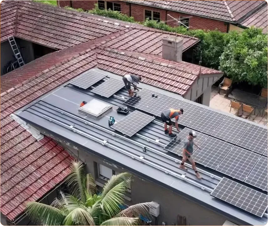
Learn how aerial imaging software improves solar system design accuracy by providing precise measurements, layouts, and shading analysis.
Rural Solar is bringing energy independence to every country town in Australia. We are committed to helping customers to reduce their energy bills and reliance on traditional, expensive energy. Longreach, QLD
Additional information
Renewables 1505024 Electrical
Contractors License
Home
About
Contact Us
Training Programs
Service
Follow us on social media and join the clean energy movement!
© Copyright 2025. Rural Solar. All rights reserved.
Privacy Policy / Terms and Conditions